🌱
Crop Monitoring
Track crop health, vegetation performance, growth stages and field-level changes using satellite and AI-powered analytics.


GeoAIHub is a technology-driven platform developed by Peterson Technology APAC to help businesses, governments, and sustainability teams make faster, data-backed decisions using geospatial AI, remote sensing, and environmental intelligence.
Explore Our Products
Live-style and demo-ready AI-powered geospatial platforms for sustainability, compliance and operational monitoring.
Track crop health, vegetation performance, growth stages and field-level changes using satellite and AI-powered analytics.
Detect land conversion, deforestation, plantation expansion and historical land cover changes with geospatial insights.
Identify environmental, operational, sourcing and supply-chain risks through spatial data, AI models and risk layers.
Support EU Deforestation Regulation compliance by assessing geolocation, land history and supply-chain exposure.
Monitor forest cover, water bodies, protected areas, biodiversity-sensitive zones and ecosystem changes.
Estimate biomass, carbon stock and emission-related indicators for climate and sustainability reporting.
Tailored dashboards, analytical models, reporting tools and industry-focused geospatial workflows.
Interactive Preview
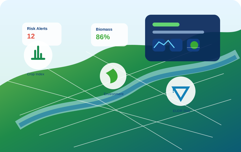
Field growth stage mapping and vegetation performance insights.
GeoAIHub transforms complex geospatial data into clear, actionable intelligence. It helps clients improve transparency, reduce risk, strengthen compliance and support sustainable land and supply-chain management.
Request Demo Access
Contact Peterson Technology APAC to explore a customized demo for your business.